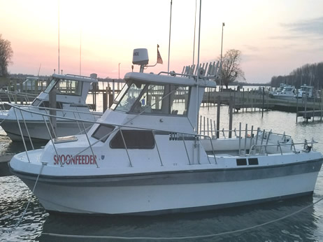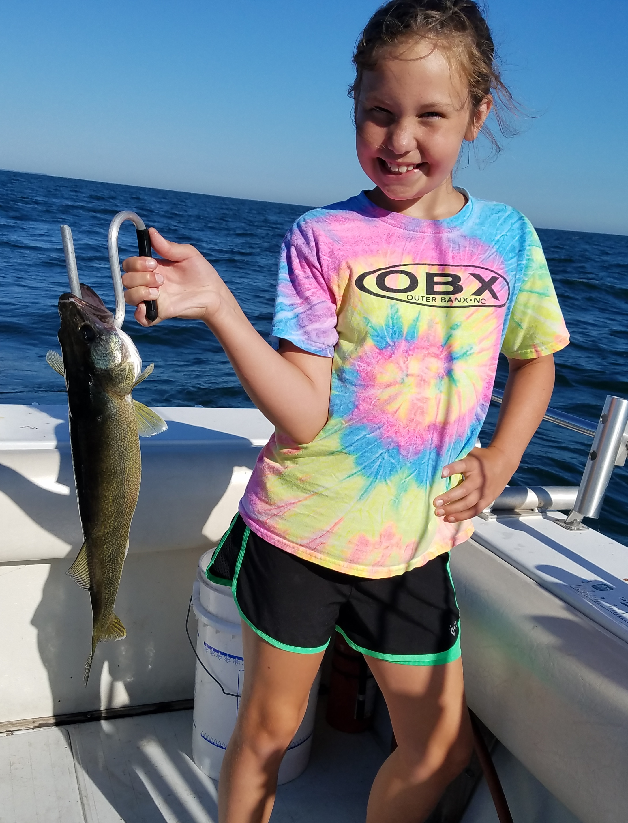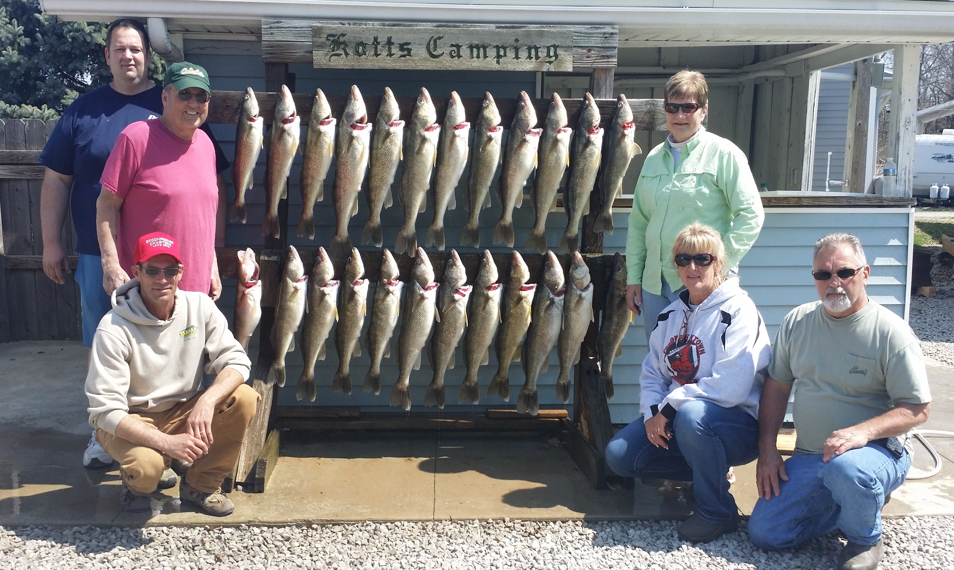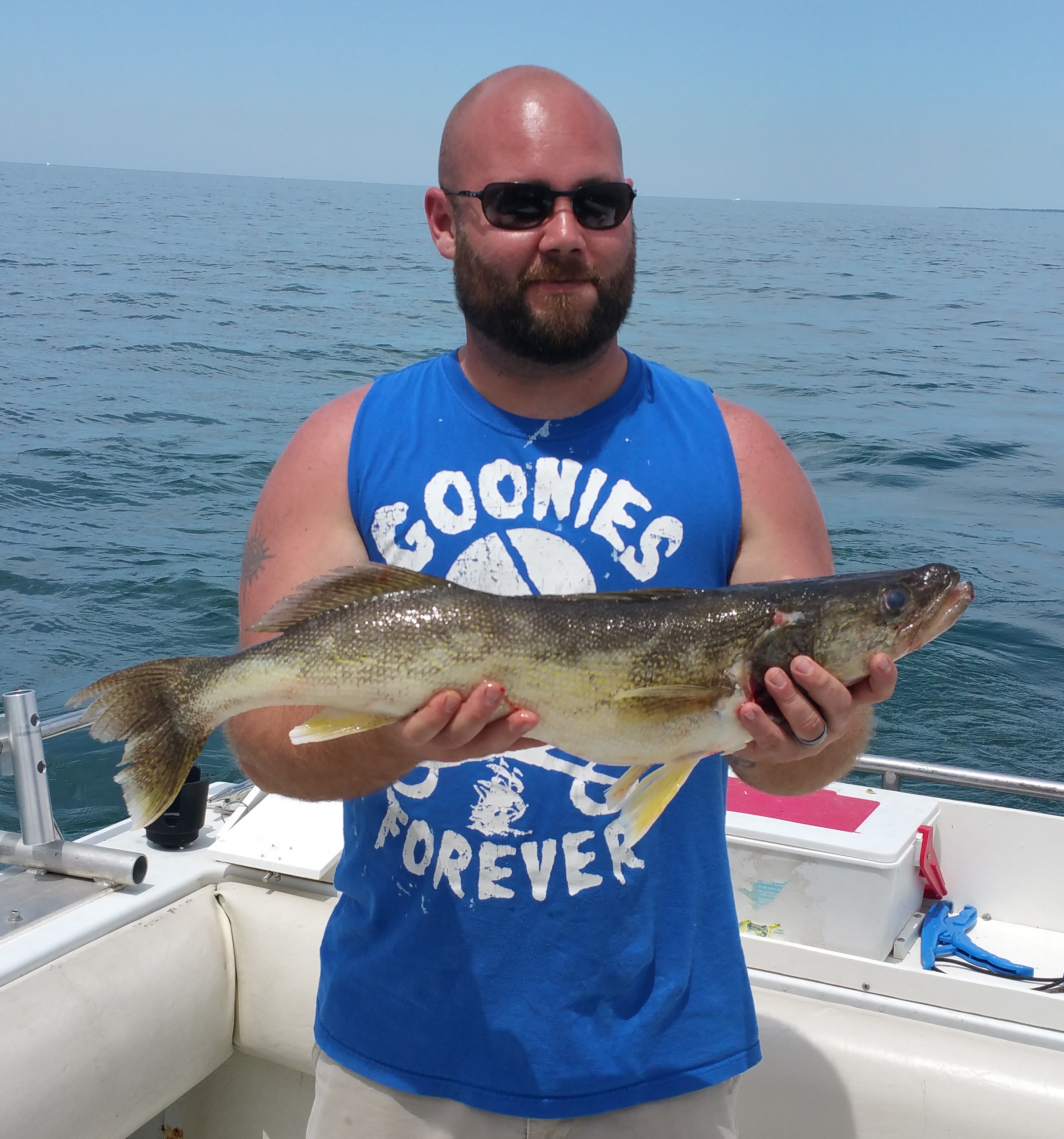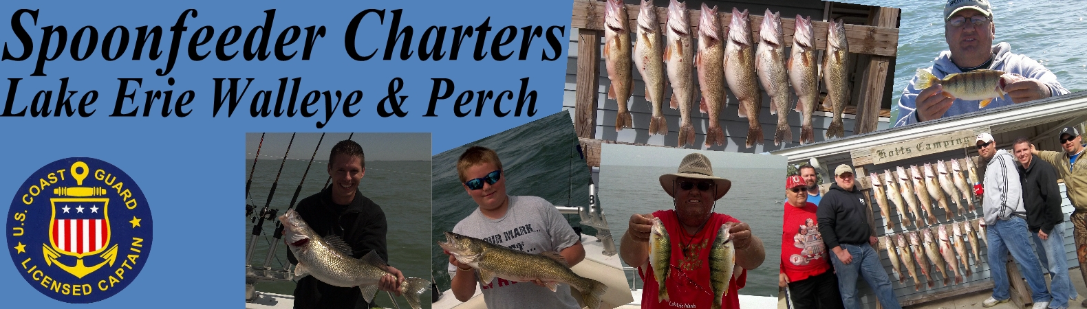


Whether your looking for a fun charter for the Guys/Gals, A family charter with the kids, or wanting an "educational charter on trolling", Spoonfeeder Charter is here to give you a memorable and educational Lake Erie fishing charter experience!
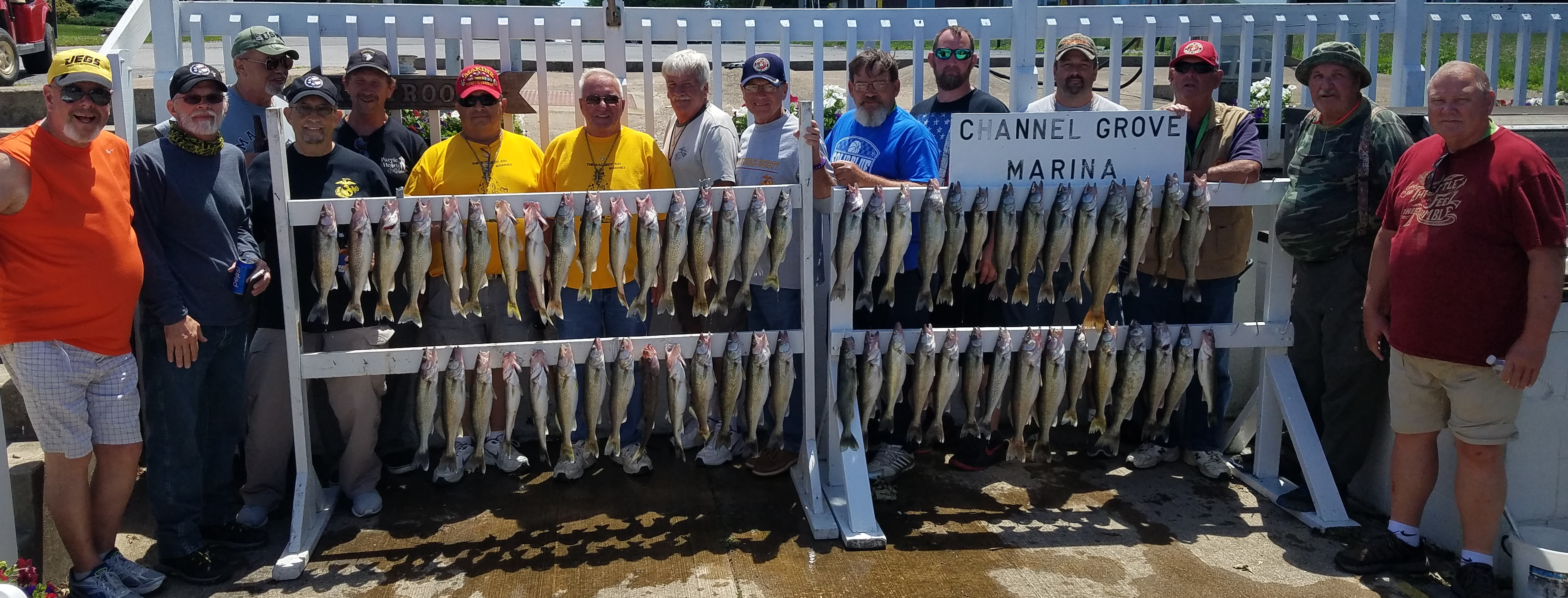
Located on East Harbor, docked at Channel Grove Marina. We are within minutes of fishing around the Islands of Lake Erie.
We specialize in Lake Erie walleye trolling and Yellow Perch Charters.